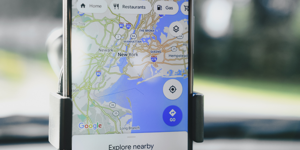
Google Maps is a ubiquitous tool that has become a staple in our everyday lives. Whether you're trying to find your way around a new city, looking for the nearest coffee shop, or planning a cross-country road trip, Google Maps is your go-to solution. However, the application offers much more than just basic navigation. It's teeming with hidden features, tips, and tricks that can make your life easier and more interesting. In this article, we will delve into some of these less-known facets of Google Maps and teach you how to unlock its full potential.
Access Detailed Information with "What's Here?"

Have you ever found yourself in an unfamiliar place, wondering what establishments are around you? Google Maps has a solution for that. Simply drop a pin anywhere on the map and select the option "What's Here?". This will open up a bottom drawer showing detailed information about the location, including nearby places, coordinates, and even user-submitted photos. This feature is not just useful for identifying what's around you. It can also be used to plan trips, scout locations, or just to satisfy your curiosity about a random spot on the globe. The "What's Here?" feature is a testament to the depth of information Google Maps offers, turning it from a simple navigation tool into a comprehensive geographical encyclopedia.
Plan Your Commute with Real-Time Traffic Updates
One of the most practical features of Google Maps is its real-time traffic updates. This feature allows you to plan your route based on current traffic conditions, helping you avoid congestion and delays. But did you know that you can also see the typical traffic for any given time and day? Just enter your destination, tap on "Directions", and then select "Depart at". Here, you can choose any time and day, and Google Maps will show you the usual traffic conditions for that period. This feature can be incredibly useful for planning your commute or trip ahead of time, allowing you to anticipate possible delays and choose the best time to travel.
Explore the World with Street View and Photo Spheres

Google Maps is not just about getting from point A to point B. It's also about exploring the world from the comfort of your couch. With Street View, you can virtually walk down the streets of any city, visit landmarks, or even explore natural wonders. What's more, Google Maps also offers Photo Spheres—360-degree panoramic images uploaded by users from all over the world. These Photo Spheres allow you to immerse yourself in places that Street View cars can't reach, like mountain tops, underwater locations, or the insides of buildings. To access these features, simply drag the yellow "Pegman" icon to any location on the map. If Street View or Photo Spheres are available, they will appear in a small window at the bottom of the screen.
Make Google Maps Your Own with Custom Maps
Did you know that you can create your own custom maps on Google Maps? With this feature, you can plot your own points of interest, draw routes, add annotations, or even import data from spreadsheets. These custom maps can be shared with others, making them a great tool for planning group trips, creating guides, or presenting geographical data. To create a custom map, go to the Google Maps website, click on the menu button, and select "Your places". Then, go to the "Maps" tab and click on "Create Map". From here, you can add markers, draw lines or shapes, import data, and customize your map in many other ways. With custom maps, Google Maps becomes not just a tool for navigation, but a platform for creativity and collaboration.
In conclusion, Google Maps is a treasure trove of hidden features and untapped potential. Whether you're a regular commuter, a curious explorer, or a creative planner, there's something in Google Maps for you. So why not dig a little deeper and discover what this amazing tool has to offer?